Ask travelers what they know about Coiba and you'll hear about turtles, sharks and whales. Almost nobody mentions what lies about 100 kilometres further south: a chain of underwater mountains rising from the deep Pacific, largely unexplored, and now one of the reasons Panama is cited as a leader in ocean conservation.
From 17,000 to nearly 68,000 km²
The Panamanian government first protected the Cordillera de Coiba in 2015, with an area of 17,223.52 km². In June 2021 it went much further, adding another 50,518.84 km² — roughly quadrupling the reserve to about 67,742 km².
According to the Smithsonian Tropical Research Institute, that single decision brought Panama's marine protected areas to 98,228.25 km² in total, meeting the global 30x30 goal — protecting 30% of a country's waters by 2030 — nine years ahead of schedule.
Mountains nobody has fully explored
What makes the area unusual is what's underneath: several underwater mountain chains whose biodiversity, in the words of the institutions that worked on the expansion, is still largely waiting to be discovered. Seamounts like these tend to concentrate ocean life, which is exactly why protecting them before they're exploited matters.
The rules that came with it
Protection on paper means little without management. In March 2022 Panama's Ministry of Environment approved the area's management plan through Resolution DM-0089-2022, drawn up after more than 20 public consultations. Under the plan, about two-thirds of the area are closed to fishing entirely, and the remaining third allows only selective methods such as pole-and-line.
The Galápagos connection
The expansion strengthened the Eastern Tropical Pacific Marine Conservation Corridor — the network linking Coiba (Panama), Cocos Island (Costa Rica), Malpelo and Gorgona (Colombia) and the Galápagos (Ecuador). UNESCO describes Coiba itself as a key ecological link in the tropical eastern Pacific for the transit and survival of pelagic fish and marine mammals. More on how the two compare: Coiba vs the Galápagos.
What it means for your trip
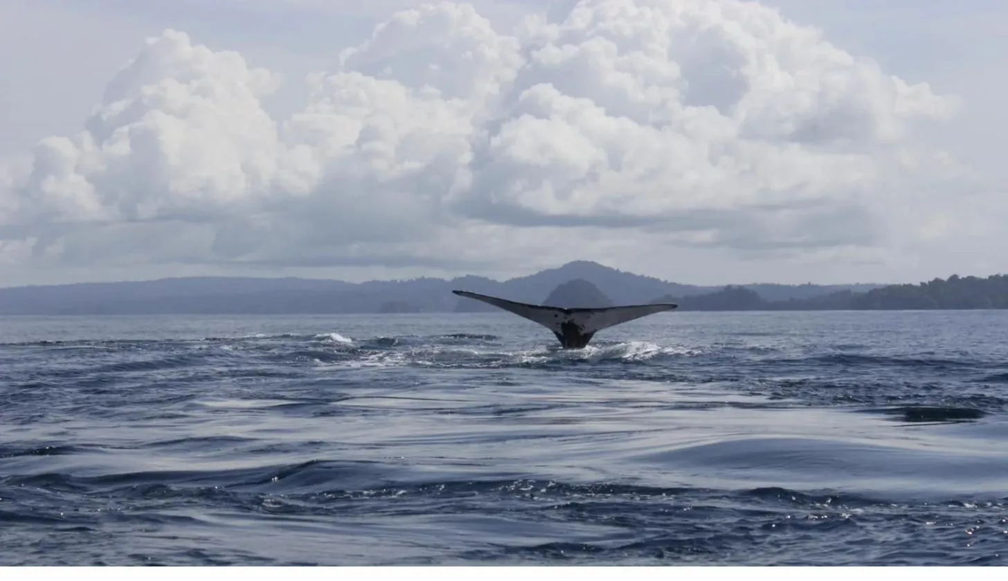
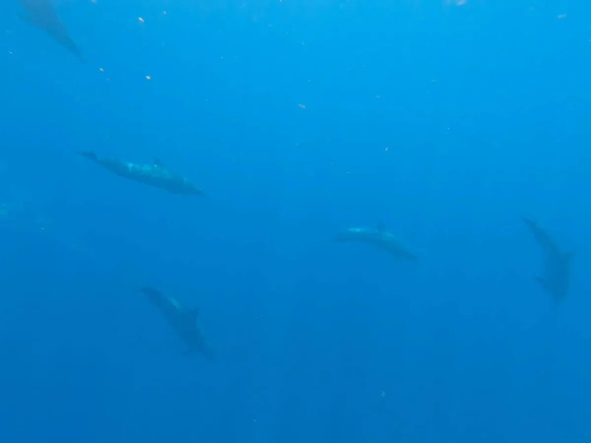
Let's be honest: you won't visit the Cordillera on a day tour. It's open ocean, far offshore. But the whales breaching near the boat, the dolphins riding the bow and the reef sharks cruising below you are part of the same connected system this decision protects. When you snorkel in Coiba, you're floating at the edge of one of the largest protected ocean areas in the region.
The best way to see that system in action is a Coiba Island Tour ($65/person + park fee) or, from June to October, a whale watching departure. Every visit pays the park entrance fee that funds its protection. Book with our local team in Santa Catalina.
Smithsonian Tropical Research Institute (STRI), “Protección marina”, June 2021 — stri.si.edu
Ministerio de Ambiente de Panamá, Resolution DM-0089-2022 of 3 March 2022 (Cordillera de Coiba management plan), as reported in Panamanian national media, March 2022.
UNESCO World Heritage Centre, Coiba National Park, Outstanding Universal Value — whc.unesco.org/en/list/1138